Pemasangan Videotron untuk Monitoring Pemetaan Wilayah di Kemendagri
Videotron Installation for Regional Mapping Monitoring at the Ministry of Home Affairs
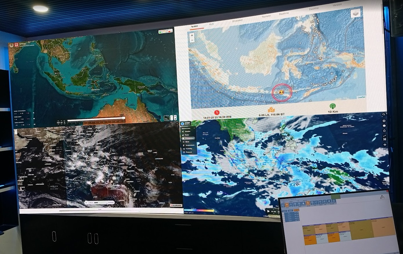
In order to enhance supervision, spatial data analysis, and digital map–based decision-making, the Ministry of Home Affairs (Kemendagri) has implemented a videotron installation project as a monitoring tool for regional mapping at the command center.
Latar Belakang
Background
Managing Indonesia’s vast regional data requires reliable visualization technology. The GIS-based digital mapping system produces large amounts of spatial data. To monitor and display this information in real-time, a large-scale, high-resolution display system is essential.
Proses Pemasangan
Installation Process
- Site survey and spatial design layout.
- Videotron hardware installation and video processor integration.
- Integration with GIS systems, demographic data, and regional analytics applications.
- System testing and operator training.
Manfaat
Benefits
- Improves the quality of regional monitoring.
- Simplifies spatial data analysis with detailed visualization.
- Accelerates data-driven decision-making.
- Supports transparency and inter-unit coordination.
Penutup
Conclusion
The videotron installation at Kemendagri’s command center represents a strategic step in optimizing the use of information technology, enabling the government to manage regional data more responsively and accurately.